Introduction
Methane is a remarkably potent greenhouse gas, responsible for a significant portion of current global warming, yet its emissions have seen a sharp increase over the past decade [1]. Unlike carbon dioxide, methane emissions often evade systematic detection. They escape intermittently from valves, wellheads, and pipelines dispersed across remote, expansive fields, leading to substantial underreporting and accumulating quietly in the atmosphere [2]. Traditional monitoring methods--relying heavily on localized, manual inspections--have consistently struggled to capture the spatially distributed and episodic nature of these leaks, leaving a critical blind spot in global climate change mitigation efforts.
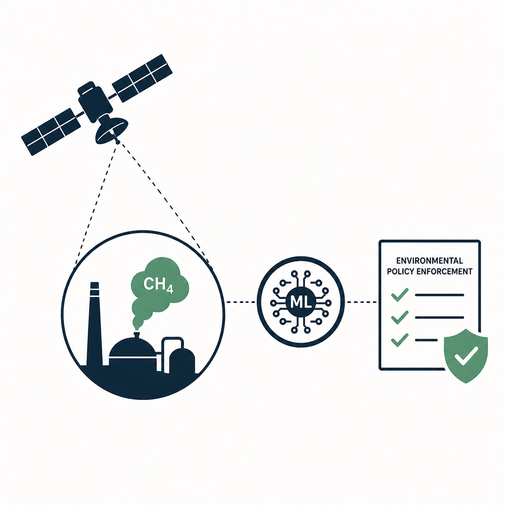
To address this escalating crisis, a new paradigm of environmental oversight is emerging. Algorithmic oversight leverages the panoramic vantage point of satellite networks combined with the analytical power of machine learning (ML) to turn raw atmospheric data into actionable intelligence. This approach shifts methane management from a reactive, reactive remediation model to a proactive, adaptive process capable of enabling swift intervention [3].
This article examines how the integration of satellite-based remote sensing, advanced artificial intelligence, and autonomous systems is revolutionizing real-time methane detection. Furthermore, it explores how these technological capabilities are being institutionalized to reshape environmental policy enforcement, regulatory compliance, and cross-industry mitigation strategies.
The Technical Architecture of AI-Driven Methane Detection
The foundation of modern methane detection lies in the sophisticated fusion of orbital hardware and algorithmic software. Satellite networks equipped with advanced spectral sensors--such as the Sentinel-2 and EMIT (Earth Surface Mineral Dust Source Investigation) instruments--provide the critical raw data by identifying unique deviations in atmospheric composition indicative of methane plumes [1][4]. However, the sheer volume and complexity of this satellite imagery necessitate advanced computational analysis to extract meaningful insights.
Machine learning models serve as the analytical engine of this architecture. For instance, platforms like MethaneDART utilize advanced neural networks trained on thousands of synthetic and real-world datasets to automatically identify methane plumes, estimate emission rates, and even determine the specific source industries responsible [1][4]. To further refine accuracy, these systems implement physical models, such as Gaussian plume models, which simulate various atmospheric and environmental conditions to better quantify the exact mass of gas escaping into the atmosphere [4].
Recent innovations have pushed this automation even further. Researchers have developed fully automated, machine learning-based algorithms capable of detecting methane leaks and estimating their emission rates directly from enhancement images and wind data [5]. Similarly, novel models like MARS-S2L have been introduced specifically to detect methane emissions in publicly available multispectral satellite imagery, democratizing access to high-level emissions monitoring [6]. Rather than interpreting measurements on an individual-reading basis, these ML models analyze temporal patterns to effectively differentiate genuine, persistent leaks from transient, harmless atmospheric anomalies [2].
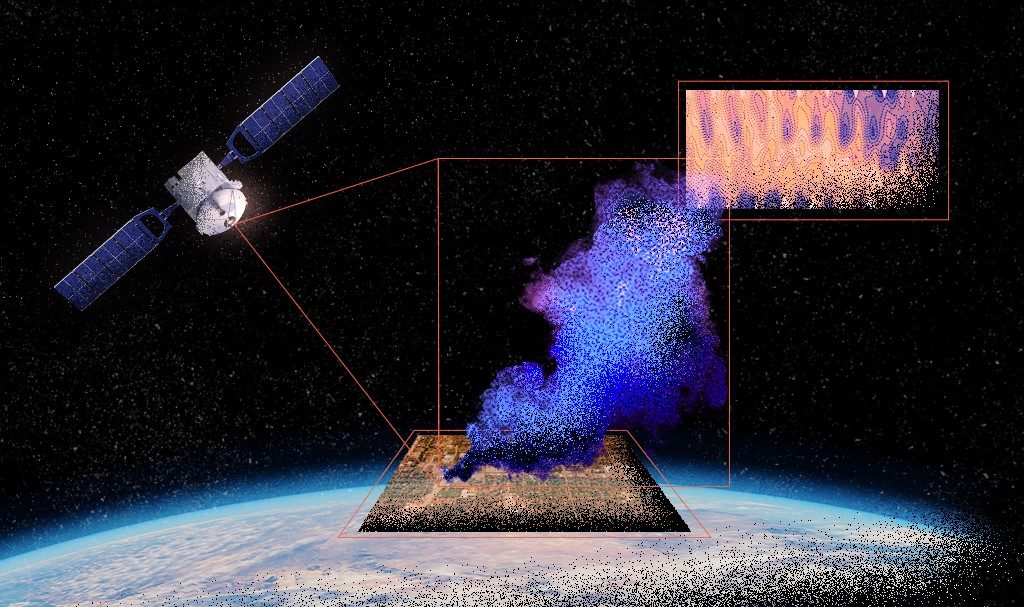 New AI Model Detects Methane Emissions From Space More Accurately - Asian Scientist Magazine
From Orbital Detection to Ground-Level Verification
While satellite-based AI provides unparalleled macro-level surveillance, it faces inherent limitations in pinpointing the exact physical source of a leak due to atmospheric dispersion and spatial resolution constraints. To bridge this gap, researchers are pioneering integrated frameworks that link orbital detection directly to rapid ground-level intervention.
A novel system proposed by environmental researchers combines satellite sensing, machine-learning inference, and autonomous robotics into a single, cohesive detection framework [2][3]. In this architecture, when satellites register irregular atmospheric patterns, the system does not merely log an alert. Instead, it constructs dynamic risk maps by integrating plume geometry, meteorological conditions, infrastructure age, and historical emission data [2]. Once coordinates are flagged as high-risk, the system automatically dispatches the nearest autonomous ground unit--such as an unmanned aerial vehicle (UV) or ground rover--to perform targeted physical inspection and diagnostic validation [2][3].
This closed-loop system significantly enhances diagnostic performance over time. As autonomous units gather ground-truth data and feed it back into the cloud-based processing system, the machine learning models continuously learn from the fused sensor data, refining their predictive capabilities and reducing false positives. This seamless transition from space-based observation to field-level robotics represents a scalable, operationalized approach to emissions monitoring that bypasses the logistical bottlenecks of human inspection teams.
Transforming Environmental Regulation and Enforcement
The true value of algorithmic methane detection lies in its potential to overhaul environmental regulation. Historically, regulators have been forced to rely on self-reported industry data or sparse physical audits, creating an environment where compliance is difficult to verify. AI and satellite integration fundamentally alter this dynamic by providing regulators with high-resolution, independent, and near-real-time emissions data [4][7].
Data-driven regulatory frameworks are already being tested. A breakthrough initiative led by the University of Chicago Data Science Institute, in close partnership with Colorado regulators, is developing a scalable inspection targeting framework [8]. By leveraging large-scale administrative data--such as permitting records and historical inspections--their supervised machine learning model predicts which specific facilities are most likely to have methane leaks. These algorithmic predictions are then used to target the collection of high-resolution satellite measurements at those exact facilities. Furthermore, the project employs a randomized controlled trial to rigorously estimate the actual impact of applying this novel technology for regulatory enforcement, moving beyond theoretical capabilities to proven policy tools [8].
Globally, this mirrors a broader shift toward "algorithmic environmental governance." In China, for example, authorities have upgraded environmental supervision through a "Three-Monitoring Linkage" system, which fuses fixed ground stations, mobile monitoring units, and satellite remote-sensing data via machine learning [9]. While initially applied to pollutants like PM2.5, the institutional implications for methane are clear: algorithmically generated signals are increasingly shaping how inspection resources are allocated and how compliance risks are identified, shortening the time between detection and regulatory response [9]. As these systems mature, automated outputs may transition from merely informational aids to self-executing regulatory triggers, fundamentally changing the speed and scale of environmental law enforcement.
 Development of Artificial Intelligence/Machine Learning (AI/ML) Models for Methane Emissions Forecasting in Seaweed
Cross-Industry Applications and Future Prospects
While the natural gas and oil industries have been the primary focus of early AI detection tools due to the prevalence of fugitive emissions from valves and wellheads [1], the technology is rapidly expanding across other high-emitting sectors. Algorithmic integration is actively being adapted to address sector-specific uncertainties, such as subsurface variability in coal mining, and the complex spatio-temporal heterogeneity found in agriculture and waste management sectors [7]. Machine learning enhances satellite observations in these diverse environments, elevating them from mere detection to dynamic source classification, which is critical for predictive monitoring and tailored mitigation planning [7].
Looking ahead, the prospects for algorithmic methane oversight are accelerating. Upcoming satellite missions are anticipated to provide enhanced geographical resolution, significantly reduced revisit intervals, and multi-gas detection capabilities [7]. When this next-generation orbital hardware is paired with the amalgamation of Internet of Things (IoT) sensor networks and real-time terrestrial sensors, it will enable dynamic, near-continuous pollution monitoring [7].
Integrating these diverse data streams with atmospheric inversion modeling and facility-level operational statistics will drastically improve the precision of source attribution. Ultimately, these developments will transform satellite-based methane detection from a specialized research domain into a ubiquitous operational system--one that not only enhances scientific understanding but furnishes the practical intelligence required by industry and regulators to expedite global methane reduction initiatives [7].
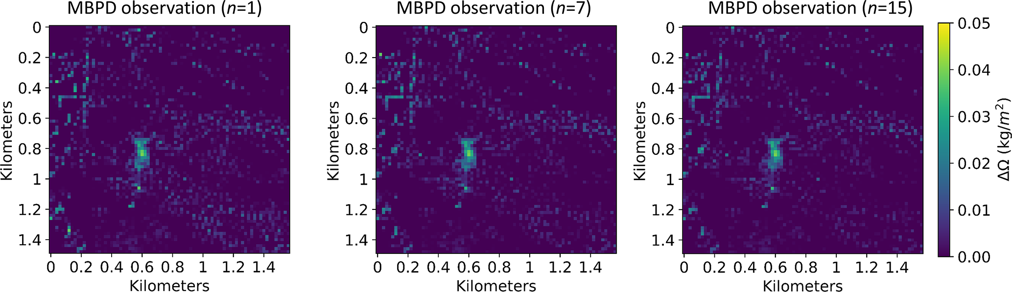 AMT - Detecting and quantifying methane emissions from oil and gas production: algorithm development with ground-truth calibration based on Sentinel-2 satellite imagery
Conclusion
The integration of machine learning and satellite data represents a watershed moment in environmental stewardship. By overcoming the historical limitations of episodic, localized inspections, algorithmic oversight provides an omnipresent eye capable of detecting the invisible, intermittent methane leaks that have long plagued climate change mitigation efforts. From the neural networks powering platforms like MethaneDART to the autonomous robotics providing ground-truth validation, the technical architecture for real-time emissions monitoring is now a reality. More importantly, as demonstrated by pioneering regulatory partnerships in the United States and algorithmic governance models emerging globally, these tools are successfully making the leap from scientific research to actionable policy enforcement. As sensor resolution improves and AI models grow ever more sophisticated, this data-driven framework will be indispensable in holding industries accountable and achieving global climate targets.
References
- 1.
- 2.
- 3.
- 4.
- 5.
- 6.
- 7.
- 8.
- 9.